
How it works
Upload your photos
Add up to 120 photos and videos from one trip. Troven reads the date and location saved in each one.
Stops appear on the map
Photos taken close together become one stop, named after the place, in the order you visited.
Adjust the route
Drag stops, add a place by search or on the map, and pick how you travelled each leg.
Saved, ready to share
Your trip is saved with its own page and map, ready for its route video. Make it public whenever you want to share the link.
What is on the map
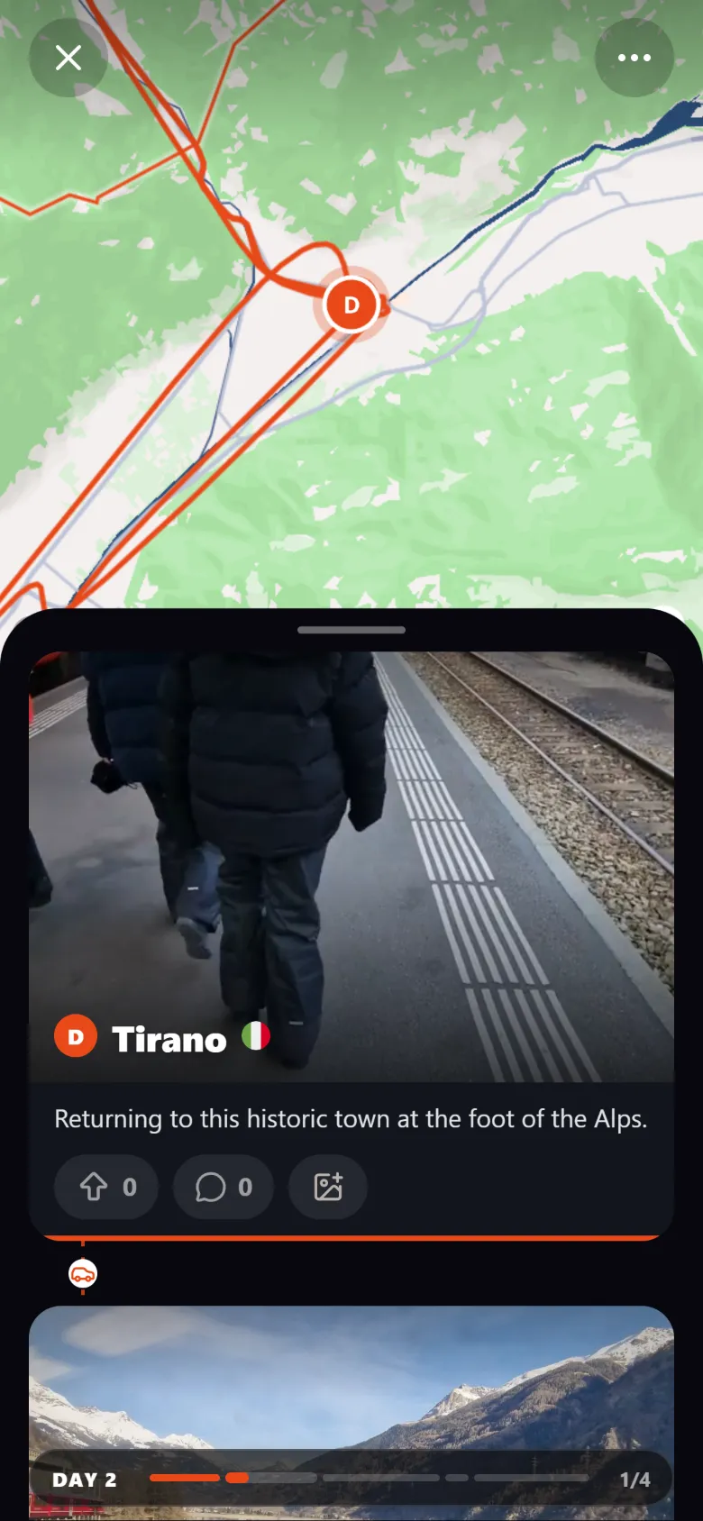
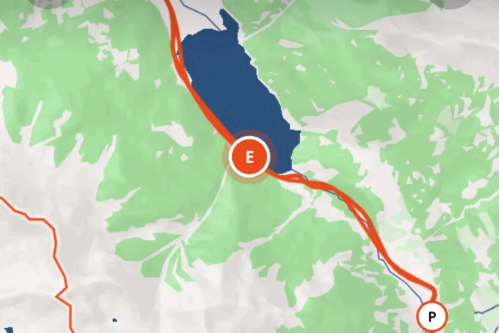
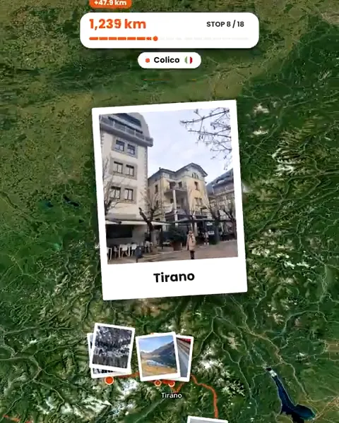
Your trip page opens on a globe with your route drawn across it. The full-screen map shows every stop by name, the line between them and a marker for each photo at the exact spot it was taken.
How the route is drawn
Stops come from where your photos were taken. Between them, the line follows the roads for car, bus, bike or walking legs, and arcs through the air for flights and cable cars. You choose the transport for each leg from sixteen options, from train and boat to tuk-tuk, and you can drag points to reshape a road the map got wrong.
Your countries, too
Each profile also has a world map that fills in the countries you have travelled to, trip after trip.
Good to know
- On Android, browsers remove the location from photos when you pick them (videos keep theirs). If you can, copy the originals to a computer and upload them there: desktop browsers keep the location. Or describe the trip by text or voice note.
- A public trip shows where each photo was taken. Leave out photos you would rather keep to yourself, like the ones taken at home.
Questions, answered
Do I need to track my trip with GPS while travelling?
What if some photos have no location?
Can people see my map without an account?
Can I import a map I already made?
Is it free?
Is there an app to install?

Your photos already hold the trip.
Upload them and see your route, map and itinerary come together. Free on the web.
Keep reading
 GuideHow to create a travel map from your photosYour photos already know where you were. How to turn them into an interactive travel map with your route, stops and photos, without tracking the trip.
 GuideWhat to do when travel photos have no GPS dataWhy some travel photos have no location, how to check, and four ways to still get them on your trip map, from time matching to AI place recognition.
 GuideHow to create travel maps without background location trackingHow to make a travel map from the photos you choose instead of tracking your trip, what a published map shows, and how to keep sensitive places off it.